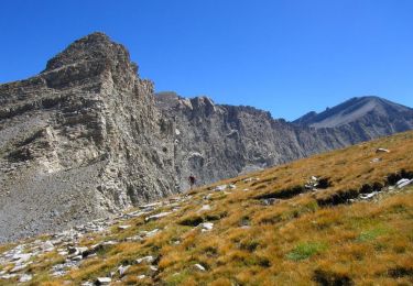
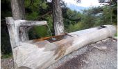
Trail On foot Le Vernet - Boucle route des Béliers-Le col de Mariaud-Barre des Béliers-Col de la Grisonnière-Cabane du berger - Photo

Boucle route des Béliers-Le col de Mariaud-Barre des Béliers-Col de la Grisonnière-Cabane du berger

© OpenStreetMap contributors
Length
Length
8.4 km
Max alt
Max alt
1811 m
Uphill gradient
Uphill gradient
593 m
Km-Effort
Km-Effort  
16.3 km
Min alt
Min alt
1228 m
Downhill gradient
Downhill gradient
591 m
Boucle
Boucle
Yes
Creation date :
2023-06-07 18:48:34.094
Updated on :
2023-06-07 19:13:12.93

(0 Reviews)

On foot
On foot
3h42
Difficulty : Easy

Scan this QR Code to open this trail in the SityTrail application

FREE GPS app for hiking

Logo SityTrail SityTrail
IGN / Geographical institutes

Download SityTrail from the App Store Download SityTrail from Google Play

Logo SityTrail SityTrail World

The world is yours!

Download SityTrail from the App Store Download SityTrail from Google Play Download SityTrail on Huawei AppGallery

About

Trail On foot of 8.4 km to be discovered at Provence-Alpes-Côte d'Azur, Alpes-de-Haute-Provence, Le Vernet. This trail is proposed by Monique14.

Description

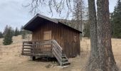
- De la mairie, à droite et à gauche, sur la route des Béliers. Se garer à l'entrée du chemin qui monte à la cabane du berger.
- A pied, rejoindre la piste vers le col de Mariaud.
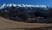
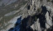
- Au col, à droite, suivre le tracé jaune la Barre des Béliers, (vue sur la Galèbre) jusqu'au Col de la Grisonnière.
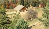
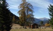
- Descendre à la cabane du berger, rejoindre la Grande Plaine et la piste qui ramène au parking.

Elevation profile

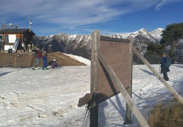
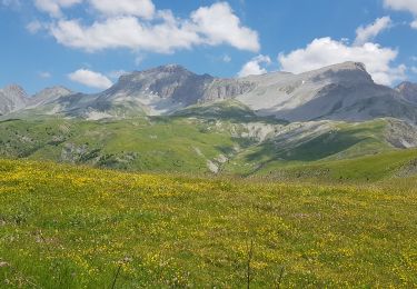
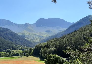
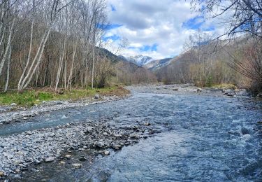
Photos

Positioning

Country:
France
Region :
Provence-Alpes-Côte d'Azur
Department/Province :
Alpes-de-Haute-Provence
Municipality :
Le Vernet
Location:
Unknown
Start:(UTM)
292280 ; 4906007 (32T) N.

Trails nearby

Trail Walking Le Vernet - VERNET    . col de Mariaud. Les 3 cabanes  o  - Photo
Walking
RobinMicheline

Walking

Difficult
(1)
Le Vernet, Provence-Alpes-Côte d'Azur, Alpes-de-Haute-Provence, France
15.3 km | 24 km-effort
6h 2min
Yes
Trail Walking Prads-Haute-Bléone - Estrop par Pic des Têtes - Photo
Walking
michlie

Walking

Difficult
(1)
Prads-Haute-Bléone, Provence-Alpes-Côte d'Azur, Alpes-de-Haute-Provence, France
19.5 km | 44 km-effort
8h 32min
No
Trail Walking Le Vernet - LE VERNET . COL DU MAL D HIVER . COL DU LABOURET . O L M  - Photo
Walking
RobinMicheline

Walking

Medium
Le Vernet, Provence-Alpes-Côte d'Azur, Alpes-de-Haute-Provence, France
13 km | 17.4 km-effort
3h 17min
Yes
Trail On foot Le Vernet - AR Roussimal- Vieille cabane- Cabane des Têtes- Val pousane - Photo
On foot
Monique14

On foot

Medium
Le Vernet, Provence-Alpes-Côte d'Azur, Alpes-de-Haute-Provence, France
12.5 km | 22 km-effort
5h 0min
Yes
Trail On foot Le Vernet - Boucle Le Vernet-Le Haut Vernet-Le Vernet-Villevielle-Le Vernet - Photo
On foot
Monique14

On foot

Easy
Le Vernet, Provence-Alpes-Côte d'Azur, Alpes-de-Haute-Provence, France
5.8 km | 8.4 km-effort
1h 54min
Yes
Trail Walking Seyne - Le Grand Puy 180222 - Photo
Walking
GUIDE
David25400

Walking

Very easy
Seyne, Provence-Alpes-Côte d'Azur, Alpes-de-Haute-Provence, France
8.4 km | 14.1 km-effort
3h 56min
Yes
Trail Walking Le Vernet - 04 - Le Vernet - Circuit des 3 cabanes - Photo
Walking
chris13370

Walking

Medium
Le Vernet, Provence-Alpes-Côte d'Azur, Alpes-de-Haute-Provence, France
12.1 km | 20 km-effort
5h 30min
Yes
Trail Walking Seyne - SEYNES LES ALPES . Grand puy , montagne de la Blache , cabane du Mulet o l s - Photo
Walking
RobinMicheline

Walking

Medium
Seyne, Provence-Alpes-Côte d'Azur, Alpes-de-Haute-Provence, France
14.4 km | 23 km-effort
3h 57min
Yes
Trail Walking Verdaches - 20190430_Sommet du Blayeul Via Verdaches - Photo
Walking
PapouBertrand

Walking

Difficult
Verdaches, Provence-Alpes-Côte d'Azur, Alpes-de-Haute-Provence, France
13.4 km | 28 km-effort
6h 11min
Yes


Close
My subscriptions